GLENCOE · PRACTICAL GUIDES
Walks in Glencoe.
Woodland paths, glen walks and mountain days ask different things of you. Start with the terrain and the whole journey, then choose the view.
Researched 8 September 2026 · Check current services and conditions before travelling.
START WITH THE TERRAIN
Choose a walk that fits today.
This first collection helps you compare named trails and outings. Published distances and times apply to the stated start and route; they exclude the journey from your accommodation or bus stop unless stated. Short distance does not mean easy terrain.
Use the notes below to choose what to research more closely. For mountain routes, take an appropriate map and the skills to use it. This page is not a navigation guide.
COMPARE BEFORE YOU COMMIT
Find the kind of outing you want.
| Outing | Character | Car-free planning |
|---|---|---|
| Lochan Trail | Lakeside woodland trail | Village approach; check current access alert |
| Woodland and Mountain Trails | Shorter forest trails with more demanding ground | Same lochan approach; different trail demands |
| Ballachulish quarries | Local paths and industrial landscape | Plan from Ballachulish |
| Glencoe Greenway | A longer out-and-back into the glen | Reach the visitor centre first |
| An Torr and Signal Rock | Woodland outing | Add the approach to the trail itself |
| Lost Valley | Mountain outing | Arrange a confirmed trailhead journey |
YOUR INITIAL SHORTLIST
Read the details behind the name.
Glencoe Lochan: Lochan Trail
FLS lists 1.6km / 1 mile and about 30 minutes for the trail. The mostly firm surface has gentle gradients; heavy rain can leave water across a short section.
Current access note: FLS temporarily grades it Easy rather than Easy All Abilities. Check the alert before relying on an accessible circuit.
Getting there: start at Glencoe Lochan. Add the approach from the village; FLS gives 15–20 minutes from village-edge bus stops. Toilets and shops are in the village.
Lochan woodland and hillside trails
The Woodland Trail is listed at 1.6km and 45 minutes, with roots, rocks and short steep sections. The Mountain Trail is about 1.6km and 45 minutes, with loose gravel, steps and sustained steep ground. FLS grades both Strenuous.
Choose the specific trail, not just the destination “Glencoe Lochan”. Neither should be treated as an accessible alternative to the lakeside trail. Total ascent is not supplied in the cited FLS descriptions.
Ballachulish quarries
Highland Council’s core-path record lists the quarry path LO05.03 as 0.6km of constructed stone path. That is a mapped path segment, not a complete circular itinerary or a return distance from your bus stop.
Choose the precise extent of your outing before setting off. Stay on paths, respect barriers and check the approach and road crossings locally. The council document is dated September 2011, so it establishes the path record, not today’s condition. We have not verified total ascent or a current complete-walk time.
Glencoe Greenway from the visitor centre
NTS lists an out-and-back of 5km, 72m ascent and around two hours, graded Moderate. Adding Signal Rock makes it 7km with 115m ascent; that extension is not fully accessible.
Start and finish at the visitor centre. Add any approach from the village. Choose a turning point that leaves room for your return journey; consult the access guide for your needs.
An Torr and Signal Rock
NTS lists three An Torr woodland trails: Yellow ¾ mile / 25 minutes; Blue 1¼ miles / 45 minutes; Black just over 1 mile / one hour. These times exclude your journey to the woodland.
If approaching along the Greenway, count that distance too. Choose a marked trail using the land manager’s map.
Lost Valley / Coire Gabhail
NTS describes a 2–3 hour climb along a mountain path through a narrow gorge into the valley. It does not provide distance or total ascent in that summary.
Treat this as a mountain outing, not an extension of the roadside viewpoint. This guide has not verified a scheduled trailhead stop or a navigable route track. Settle the route, current conditions and both transport legs before committing.
BEYOND THE WOODLAND
A mountain deserves its own plan.
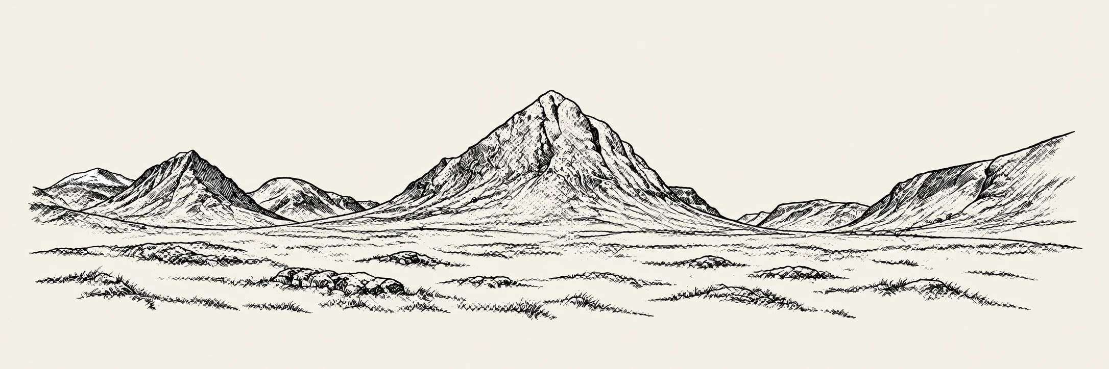
The Pap of Glencoe, Buachaille Etive Mòr and Glencoe’s other summits merit individual route guides. We are not publishing precise distances, ascent totals or downloadable tracks for them until the chosen start, route variant and source evidence have been checked together.
NTS describes Aonach Eagach as an exposed scrambling ridge for very experienced climbers. It belongs in a different category from the woodland outings above.
NTS: mountain and scrambling overview
If the intended route is beyond your experience, consider instruction or a suitably qualified guide. Agree the objective and conditions with them; hiring a guide does not make every route suitable for every group.
BEFORE THE FIRST STEP
Plan the walk and the way back.
Read the terrain, not only the distance.
Look at the whole map, the height gain, steep ground and possible alternatives. Decide where you can shorten the outing. Include stops and the descent when judging the time available.
Take navigation you can use.
Download your maps before leaving coverage and keep your phone charged. Carry a map and compass and learn how to use them; following a line on a screen is not the same as understanding the ground.
Check weather and winter conditions.
Check a mountain forecast for wind, visibility and temperature, not just the forecast for the village. Snow and ice require additional equipment, judgement and skills. Consult avalanche information when relevant and check the forecast’s issue date and coverage.
Pack for the outing, including a delay.
Match footwear and clothing to the ground and forecast. Include waterproofs, warm layers, food, water, a headtorch, navigation equipment and emergency essentials appropriate to the outing. Leave your route and expected return with someone responsible.
If you need mountain rescue.
In a mountain emergency, call 999, ask for Police, then Mountain Rescue. Give your location and explain what has happened. Our website contact form is not an emergency service.
JOIN UP THE JOURNEY
Coming without a car?
Choose a walk only after you know how to reach its start and return. Keep approach time separate from trail time. The village-based options are the starting point for our car-free guide.
Plan a car-free visit → Choose a base →
Our trip planner can help organise a visit, but its downloadable outline is not a walking map or a route track.
HOW WE WORK
About these guides.
Our guides combine published information with our own planning advice. They are researched remotely, not accounts of walks or journeys we have personally tested. Route summaries help you compare outings; they are not turn-by-turn directions or a substitute for a suitable map.
Transport information is not live. Distances and grades belong to the named source and route variant. Where evidence is incomplete or inconsistent, we say so. External links lead to operators, land managers, public bodies and outdoor safety organisations.
Spotted a change? Send us the page and the detail.
GLENCOE · EXPLORE WITH CURIOSITY. VISIT WITH CARE.